Current Status (last updated April 30, 2026)
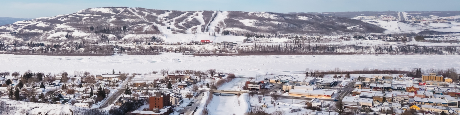
The ice cover through the Town of Peace River has melted and retreated downstream. Water levels through the town have fallen, and no flooding issues were reported as the ice broke up. The ice advisory has ended.
As river break-up is over and we're fully moving into spring, there will be no more updates on this page.
Thank you to everyone for staying prepared and supporting one another through break-up.
To see previous information and updates, scroll down.
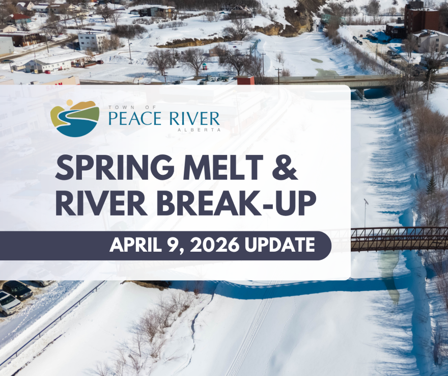
This page is the Town of Peace River’s central hub for the 2026 spring melt and river break-up condition updates. We will post the latest information, what to expect, and what actions residents may need to take as conditions evolve.
The Town of Peace River is closely monitoring spring melt conditions in coordination with the Province of Alberta and the Alberta River Forecasting Centre.
Conditions can change quickly depending on how the melt and river break-up unfold.
What’s Happening
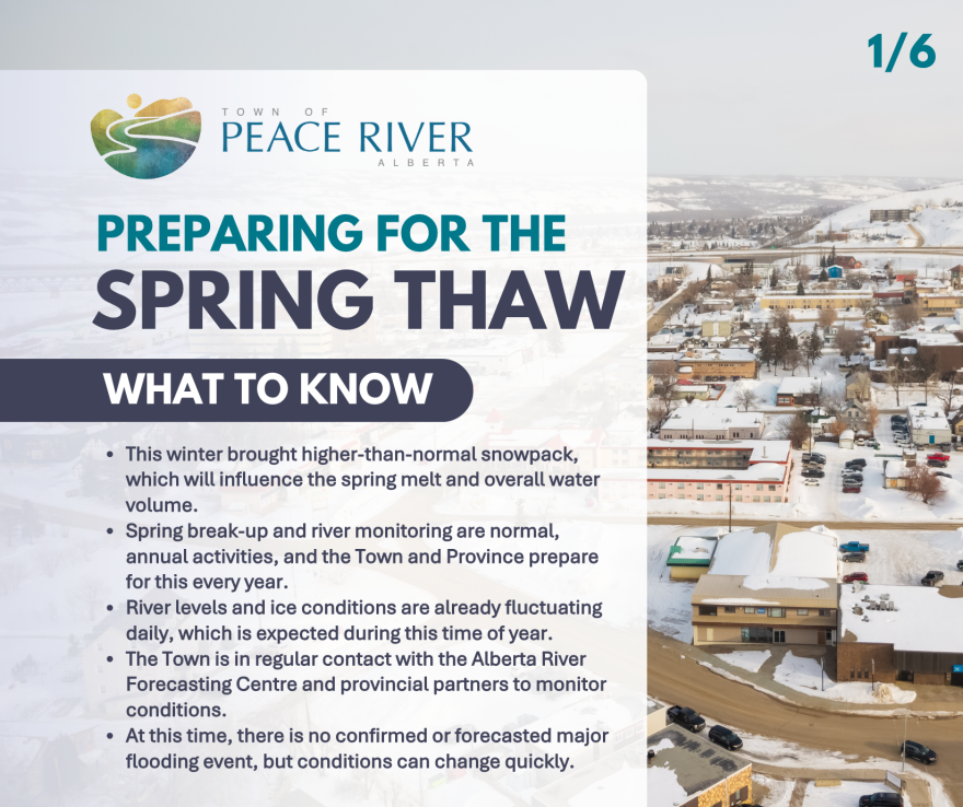
This winter brought a higher-than-normal snowpack, which will influence the spring melt and overall water levels.
Spring break-up is a normal, annual process. As temperatures rise, river ice begins to shift and melt, and water levels can fluctuate daily.
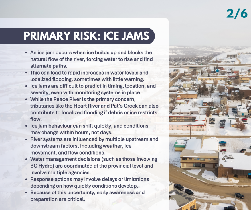
Main Risk: Ice Jams
The primary risk during spring break-up is the potential for ice jams.
Ice jams occur when ice blocks the river’s flow, causing water levels to rise rapidly and sometimes leading to flooding. These events are difficult to predict and can develop quickly, with conditions changing in a short period of time.
What the Town is Doing
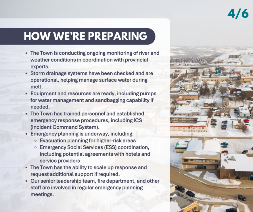
The Town is actively preparing for spring melt and potential high water.
This includes:
- Monitoring river and weather conditions with provincial partners
- Coordinating with Alberta River Forecasting Centre
- Ensuring infrastructure such as storm drainage systems is functioning
- Preparing equipment, including pumps and sandbagging capability
- Reviewing emergency response and evacuation plans
- Meeting regularly to plan approach and assess conditions
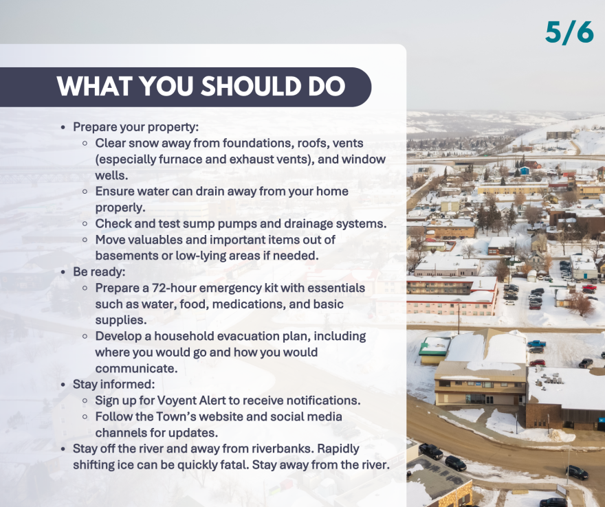
What Residents Should Do
Residents also have an important role in preparing for spring melt.
We encourage you to:
- Clear snow away from foundations, roofs, vents, and window wells
- Ensure water can drain away from your home
- Check sump pumps and drainage systems
- Move valuables out of low-lying areas if needed
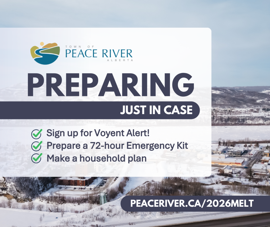
- Prepare a 72-hour emergency kit
- Develop a household emergency plan
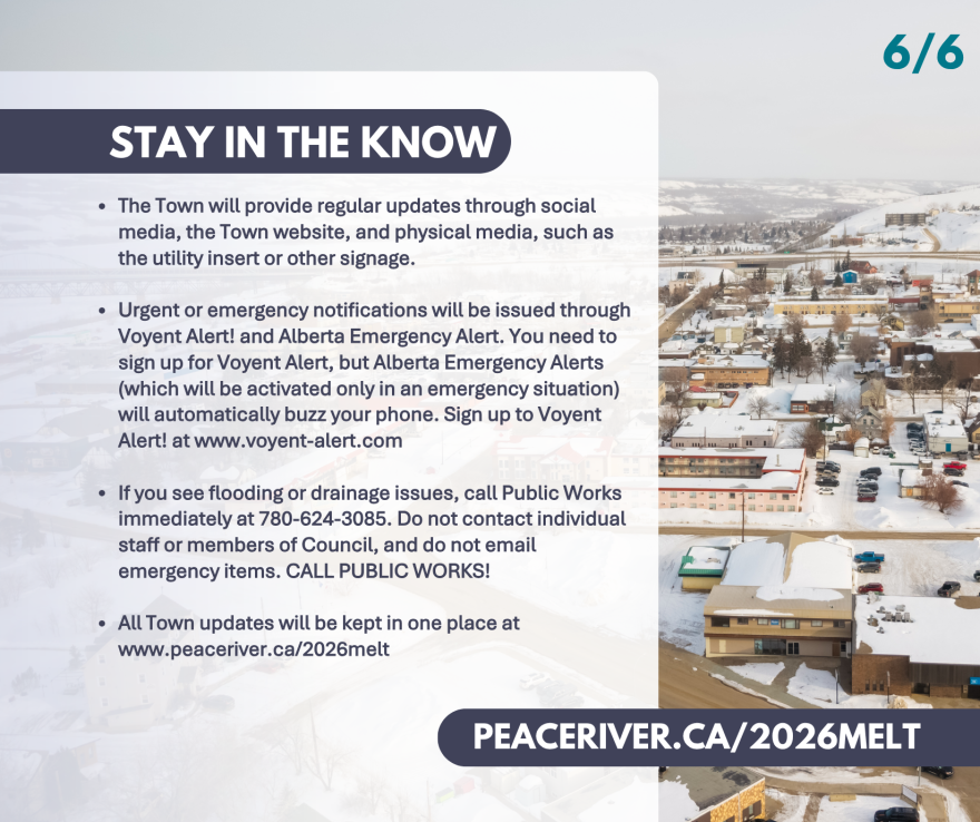
Stay Informed
Staying informed is key as conditions evolve.
- Sign up for Voyent Alert: www.voyent-alert.com (or search on the app store)
- Follow the Town’s website and social media channels
- Report flooding or drainage concerns to Public Works at 780-624-3085
- View more information on river safety and emergency preparedness: https://www.peaceriver.ca/home-property-utilities/emergency-preparedness
- Follow river advisories and status updates at https://rivers.alberta.ca/
Safety Reminder
Stay off the river and riverbanks.
Ice conditions during spring melt and river break-up are unstable and can change quickly. Going onto the river or riverbanks is extremely dangerous. Do not go onto the river, and stay clear of it.
Additional Resources
- Government of Canada emergency preparedness: www.GetPrepared.ca
- Alberta emergency preparedness: www.alberta.ca/emergency-preparedness
Updates
This page will be updated regularly as conditions change throughout the spring melt period. See new posts below.
April 29, 2026: Behind the Scenes of River Break-up
April 27, 2026: Ice Advisory Ended
The ice cover through the Town of River has melted and retreated downstream.
Water levels through the Town of Peace River have fallen, and no flooding issues were reported as the ice broke up.
The thermal breakup of the Peace River is expected to continue next week, with the ice front retreating steadily downstream.
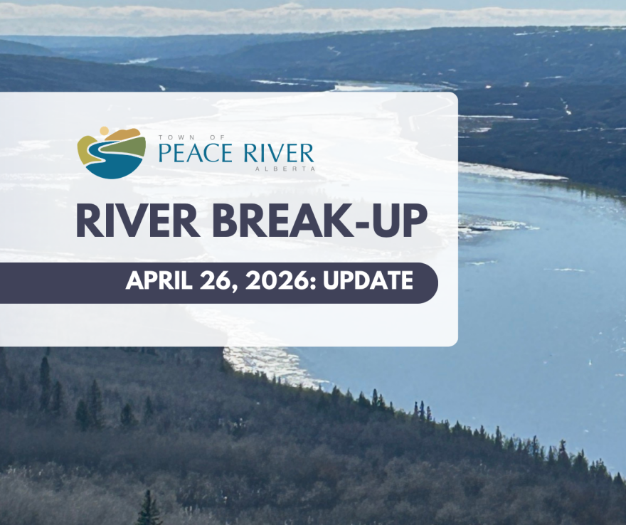
April 26, 2026: River Break-Up Update
River break-up is nearly complete.
Most ice has cleared through town and water levels have returned to more typical conditions.
The ice jams at the mouths of the Smoky River and Heart River have both released, with no flooding impacts reported.
An Ice Advisory remains in effect, but the risk of ice jamming is now very low, with no expectation of flood impacts.
Please continue to use caution near riverbanks and embankments. Recently submerged areas may be slippery. The river is moving faster than it appears and remains very cold.
Thank you to the community for preparing so well and being ready to act if needed.
All updates on river break-up can be found at www.peaceriver.ca/2026melt
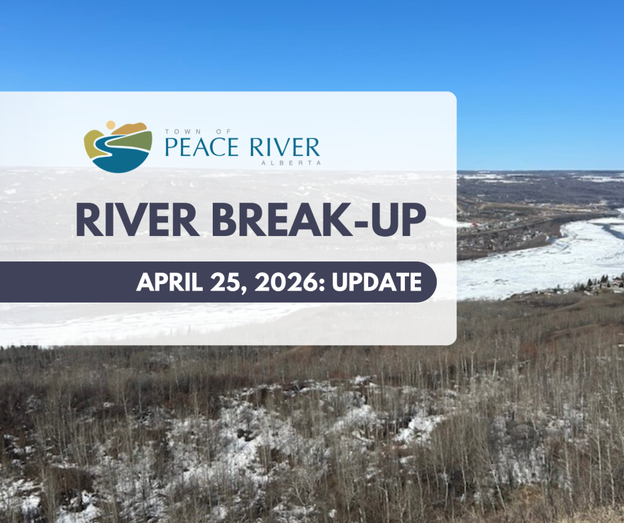
April 25, 2026: River Break-Up Update
Conditions have continued to improve over the past 24 hours, and overall flood risk has significantly reduced as water levels have decreased in all basins.
Overnight, the ice jam on the Heart River near 12 Foot Davis Events Park melted significantly and water levels have decreased. Flows remain steady and will continue to be monitored; however, we are not concerned at this time. We have pre-positioned equipment nearby in case there are issues with the debris that have come down.
12 Foot Davis Events Park will remain closed at this time. Please stay out, as it may collect water if any significant channel obstruction occurs.
At the Smoky River, the ice jam at the mouth has started to move into the Peace River and is steadily melting out.
The Peace River ice front is continuing its thermal melt toward town. There are open channels visible throughout the river as the ice is beginning to weaken. We expect the remaining ice to melt through tomorrow or early Monday, depending on weather.
Field observers remain in place, and the provincial ice team continues to monitor conditions closely, with alerts in place for any sudden changes.
An ice advisory remains in effect.
As the ice melts through town, water levels can rise and fall quickly. Please stay away from the wet side of berms, and off embankments until break-up is complete.
Thank you to everyone in the community for your efforts staying prepared, keeping tuned to updates, and supporting one another.
You can find updates on the river break-up here: www.peaceriver.ca/2026melt
April 24, 2026: Ice Jam Watch Downgraded to River Ice Advisory
The Ice Jam Watch for the Smoky River and the Peace River from the Town of Peace River to Sunny Valley has been downgraded to a River Ice Advisory.
There are no current flood impacts, and the ice cover through the Town of Peace River remains intact.
The ice jam at the mouth of the Smoky River remains in place. The jam is approximately 4 km long, having melted 2.5 km since yesterday. Water levels at the ice jam have fallen approximately 1 m since their peak on April 22.
Snowmelt runoff driven flows in the Peace and Smoky rivers remain elevated, but are falling gradually.
The ice jam at the mouth of the Smoky River has the potential to push into the Peace River and start to break up the ice cover through the Town of Peace River. Should this occur, an ice jam could form causing increased water levels. Flood impacts to the Town of Peace River are not expected while flows remain at current levels.
The Heart River is breaking up and an ice jam has formed near the mouth in the Town of Peace River. Water levels at the ice jam have fallen from the peak overnight, and no flood impacts are expected to the Town of Peace River from the Heart River.
The Peace River ice front is retreating steadily 35 km upstream of the Highway 2 bridge at the Town of Peace River. A dynamic snowmelt driven breakup of the Smoky River ice before the ice front passes the Town of Peace River can initiate breakup of the Peace River and can increase the ice jam flood risk at the Town of Peace River and locations downstream.
See more: https://rivers.alberta.ca/
Peace River Basin
Ice Advisory
2026-04-24 12:39:54 PM
April 24, 2026: River Break-up Update
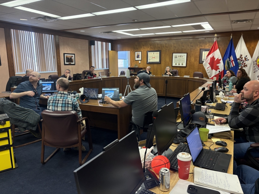
The Town continues to monitor river break-up closely with partners.
This morning, the flood alert for the Heart River area was cancelled as there is no imminent risk of flooding.
Town staff will continue to closely monitor the Peace River, Smoky River, and Heart River as break-up continues.
The ice front on the Peace River is currently melting towards town. The ice jam that formed on the Smoky River is reducing in length and water levels are receding.
Our emergency management agency is working closely with the Province of Alberta and our emergency management partners. We are and will continue to maintain the additional personnel, resources, and supports activated and on standby that we feel are needed to respond until after the ice front on the Peace River goes past town.
With cool temperatures in the forecast, we expect the rate of snowpack melt will stabilize and begin to reduce, and the Peace River ice will continue to melt thermally towards the town of Peace River.
We do not currently anticipate that there will be an imminent or immediate risk of flooding based on forecasts and information available at this time.
We are staying prepared to ramp up our response if necessary and you should too.
- Make sure you’re staying informed and monitoring updates from Town channels
- Make sure you have a plan in place if you needed to prepare to evacuate
We understand the past 24 hours have been stressful. Thank you for being prepared, paying attention, and supporting one another.
Town staff will continue to monitor the situation and communicate with the community if there are any changes to keep our residents safe.
Find updates at www.peaceriver.ca/2026melt
April 23, 2026: Stay Away from 12 Foot Davis Events Park
12 Foot Davis Events Park is currently closed as we continue to monitor the Heart River.
Water is likely to enter the ball diamond.
Please stay away from the park until further notice, and avoid all riverbanks while break-up is underway.

April 23, 2026: Morning Update
The ice jam at the mouth of the Smoky River did not move overnight.
We are continuing to monitor the situation closely with the Province and other partners. At this point, it remains a waiting game.
In the best-case scenario, the ice holds in place and gradually melts. If that happens, we would remain in a heightened monitoring period until the ice clears. That may take the next four to five days, as the Peace River ice front is still upstream of town.
We understand this uncertainty can be stressful. We’re right there with you, and we’re continuing to prepare for a range of scenarios.
If you live in a low-lying area, do not let your guard down. Please continue to stay prepared, keep your emergency bag ready, and keep a close eye on updates.
The safety of residents remains our top priority. We will continue to provide updates.
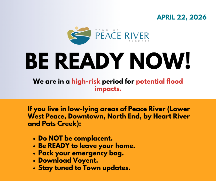
April 22, 2026: BE READY NOW!
We are in a high-risk period of the spring break-up.
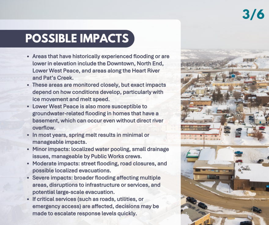
If you live in low-lying areas (Lower West Peace, Downtown, North End, Heart River, Pat’s Creek), you need to be ready now.
Water levels can rise quickly and conditions can change fast.
- Have an emergency bag packed and ready
- Be prepared to leave your home quickly and at an inconvenient time
- Make sure your household knows the plan
- Talk with neighbours if you need help to plan
- Sign up for alerts through Voyent Alert
If an evacuation is required, your phone will be automatically buzzed through Alberta Emergency Alerts and we will also spread the information through Town channels (Voyent, social media, website).
Depending on how things play out, there may be little or no time between an alert and an evacuation order.
An ice jam flood is impossible to precisely predict. The Town and Province are closely monitoring it.
- Stay alert. Keep an eye on updates. Be ready.
- Sign up for alerts: https://voyent-alert.com/community/
- See Alberta emergency preparedness resources: www.alberta.ca/emergency-preparedness
- Follow updates at: www.peaceriver.ca/2026melt
Watch an address from Mayor Shelly Shannon here:
April 22, 2026: Morning Status Update
April 21, 2026: Update on River Break-up
The Town and Province continue to actively monitor conditions.
An Ice Jam Watch was issued last night (April 20) and remains in place as flows and ice continue moving through the system.
We are entering a critical monitoring period, with multiple increases in water and ice expected over the next 24-48 hours.
Water levels at the Town are expected to remain elevated and may increase further through Wednesday into Thursday.
While sustained flows are still below typical high-risk break-up levels, we are approaching ranges where stronger pushes of ice and water are possible. Conditions can change quickly.
Officials are monitoring key locations and conducting regular observation flights. Updated information will continue to be shared as it becomes available.
What you should know:
- This is an active monitoring period. The situation is evolving.
- Residents in low-lying areas, including the North End, Lower West Peace, Downtown, and around Pat's Creek and the Heart River should continue to stay informed and be prepared.
- Businesses in these areas should also prepare. Move critical items out of low areas, protect and back up essential systems and data, review insurance and document your space, and make sure you and your staff are ready to shut down and evacuate quickly if needed.
- Sign up for alerts: https://voyent-alert.com/community/
- Prepare an emergency kit and discuss a plan with your household.
- Follow updates at: www.peaceriver.ca/2026melt
We will continue to provide updates as needed.
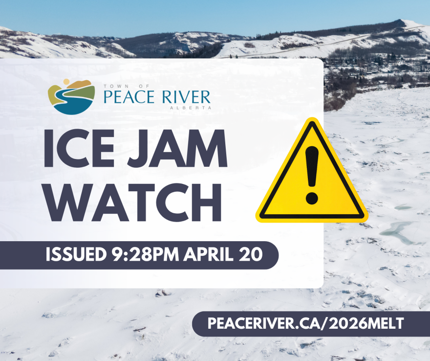
April 20, 2026: Ice Jam Watch
Alberta Environment and Protected Areas has issued an Ice Jam Watch for the lower Smoky River and the Peace River from the Town of Peace River to Sunny Valley.
Two ice runs were observed on the Smoky River. They are expected to arrive at the ice jam located near the mouth of the Smoky River overnight and in the early morning of April 21.
These ice runs have the potential to push the existing ice jam into the Peace River and start to break up the ice cover through the Town of Peace River.
Should this occur, an ice jam could form causing increased water levels. Water level increases happen quickly when an ice jam has formed.
The Peace River ice front is retreating steadily approximately 78 km upstream of the Town of Peace River. A dynamic snowmelt driven breakup of the Smoky River ice before the ice front passes the Town of Peace River can initiate breakup of the Peace River and can increase the ice jam flood risk at the Town of Peace River and locations downstream.
The ice cover through the Town of Peace River remains intact, and there are no current flood impacts.
See more: https://rivers.alberta.ca/
This is especially important for people in the North End, Lower West Peace, Downtown, and around Pat’s Creek and the Heart River.
- Sign up for alerts: https://voyent-alert.com/community/
- Follow updates at: www.peaceriver.ca/2026melt
April 20, 2026: Update on River Break-up
Warmer temperatures are continuing to drive snowmelt across the region, and we are starting to see water levels rise.
Current modelling suggests the peak of this melt will likely occur mid-week (Wednesday-Thursday).
At this time, river flows are below levels typically associated with a high-risk break-up scenario in Peace River, though conditions continue to change and are being closely monitored.
As a precaution, upstream flows have been reduced by BC Hydro, but water levels are still expected to increase over the coming days due to runoff from across the watershed.
What this means locally
Storm gates are now fully closed. This prevents river water from flowing into town, but it also means water from rainfall or melt cannot drain into the river in some areas. As a result, we may see more localized ponding or pooling of water, particularly in low-lying areas.
If you are experiencing significant ponding that is impacting access or property, please contact Public Works at the 24/7 number: 780-624-3085.
Crews are monitoring and will respond based on priority.
Looking ahead
The situation is still evolving. Short-term increases in flow can occur with little warning due to upstream conditions.
Residents in low-lying areas, including the North End, Lower West Peace, Downtown, and around Pat's Creek and the Heart River should continue to stay informed and be prepared.
- Sign up for alerts: https://voyent-alert.com/community/
- Prepare an emergency kit and discuss a plan with your household
- Follow updates at: www.peaceriver.ca/2026melt
We will continue to provide updates as needed.
April 20, 2026: Closures as River Levels Rise
April 19, 2026: River Ice Advisory Update
Peace River Basin
Ice Advisory
2026-04-19 10:59:36 PM
The River Ice Advisory for the lower Smoky River and the Peace River from the Town of Peace River to Sunny Valley remains in effect.
Breakup of the lower Smoky and Little Smoky Rivers occurred yesterday. The ice that cleared from these channels has collected into a 10 km long ice jam, located 9 km from the mouth of the Smoky River. Water levels remain relatively low. Additional ice runs are expected from the upper Smoky and Little Smoky rivers overnight and over the next few days. These may add to the length of the existing jam, or push it further downstream.
Ice movement is a normal part of river ice breakup on these rivers. River breakup in the Smoky basin is being monitored closely due to the high snowpack and warming temperatures this week. Breakup of the Smoky River and its tributaries may accelerate as water levels rise with snowmelt runoff, which can contribute to the formation of ice jams.
The Peace River ice front is melting steadily and passed Dunvegan yesterday. A dynamic snowmelt driven breakup of the Smoky River ice before the ice front passes the Town of Peace River can initiate breakup of the Peace River and can increase the ice jam flood risk at the Town of Peace River and locations downstream.
The ice cover through the Town of Peace River remains intact, and there are no imminent flood concerns. This advisory remains in place to indicate changes in river ice conditions.
There is a Spring Runoff Advisory in effect for Central and North Central Alberta. Use the main menu, select 'Advisories' and then select the yellow Spring Runoff Advisory banner at the top of the window for more information
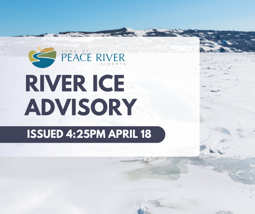
April 18, 2026: River Ice Advisory
Alberta Environment and Protected Areas has issued a River Ice Advisory for the lower Smoky River and the Peace River from Sunny Valley, including the Town of Peace River to Sunny Valley.
Breakup has occurred on the Lower Smoky River and at Watino, and the early stages of breakup continue further downstream on the Smoky River. Though ice movement is a normal part of river ice breakup on these rivers, this is being monitored with extra vigilance due to the high snowpack and warming temperatures. Breakup of the Smoky River and its tributaries will accelerate as water levels rise with snowmelt runoff, which can contribute to the formation of ice jams.
The Peace River ice front is melting steadily near Dunvegan. A dynamic snowmelt driven breakup of the Smoky River ice before the ice front passes the Town of Peace River can initiate breakup of the Peace River and can increase the ice jam flood risk at the Town of Peace River and locations downstream.
The ice cover through the Town of Peace River remains intact, and there are no imminent flood concerns. This advisory remains in place to indicate changes in river ice conditions.
2026-04-18 04:25:36 PM
via https://rivers.alberta.ca/
All information on the spring melt and river break-up: www.peaceriver.ca/2026melt
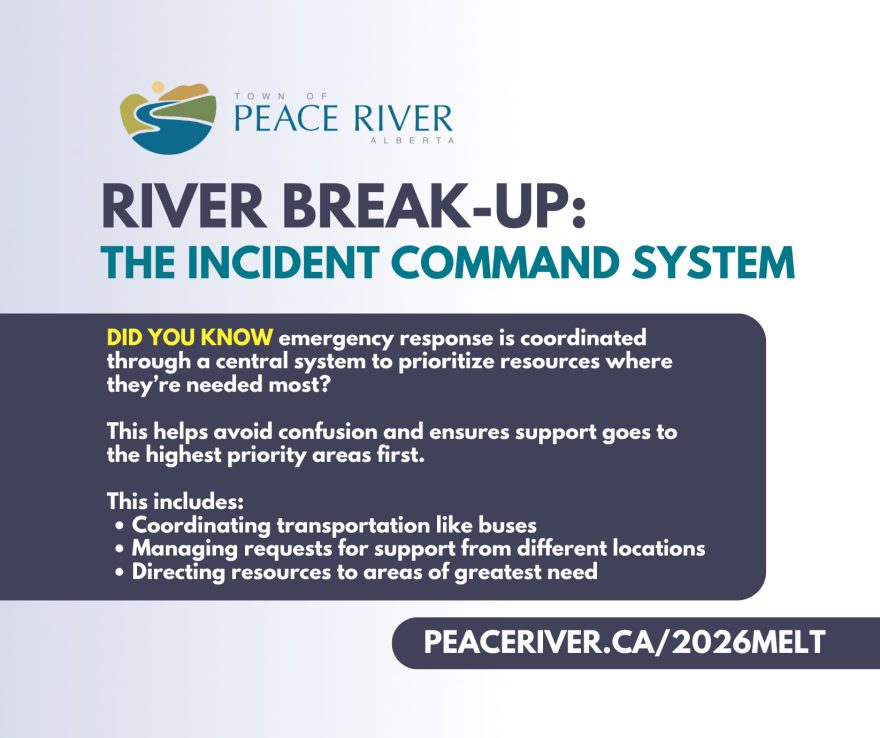
April 17, 2026: Did You Know?
Important information and messages for consideration as the Town monitors river break-up.
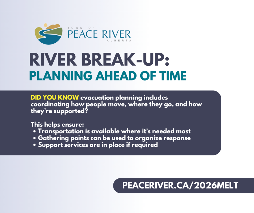


April 16, 2026: Are You Prepared?
Warm temperatures are forecast this weekend (April 17-20) and carrying into spring. There is a risk of flooding if an ice jam forms during river break-up. The Town and Province are monitoring it closely.
In a significant flooding event, it's possible there may be localized evacuations in the community, particularly in low-lying areas (North End, Lower West Peace, Downtown, and around Pat's Creek and Heart River).
If you live in these areas, now is the time to make sure you're ready in the event of an emergency.
- Have an emergency bag ready to grab and go. Include essential items like medications, important documents, pet supplies, clothes, toiletries, chargers.
- Talk to your family about emergency plans. What would you do if you were woken up at 2am and given 15 minutes to leave your home?
- Move valuable items out of basements.
- Keep an eye on Town updates.
There is currently no indication of flooding, but there are several risk factors present. The exact timing and extent of an ice jam flood is very difficult to predict. Preparing is simple and means you will be ready in the event of an emergency.
- Sign up for Voyent Alert: https://voyent-alert.com/community (or search on the app store)
- Follow the Town’s website and social media https://www.facebook.com/peaceriverab/
- Report flooding or drainage concerns to Public Works at 780-624-3085
- View more information on river safety and emergency preparedness: https://www.peaceriver.ca/home.../emergency-preparedness
- Follow river advisories and status updates at https://rivers.alberta.ca/
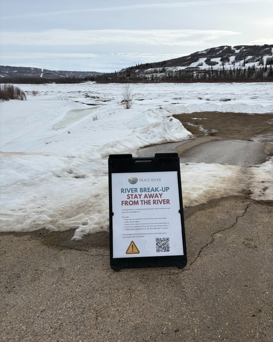
- Stay off the ice. Conditions are unstable and can change quickly. The ice is very dangerous during break-up.
Find all the information on the spring melt and river break-up here: https://www.peaceriver.ca/2026melt

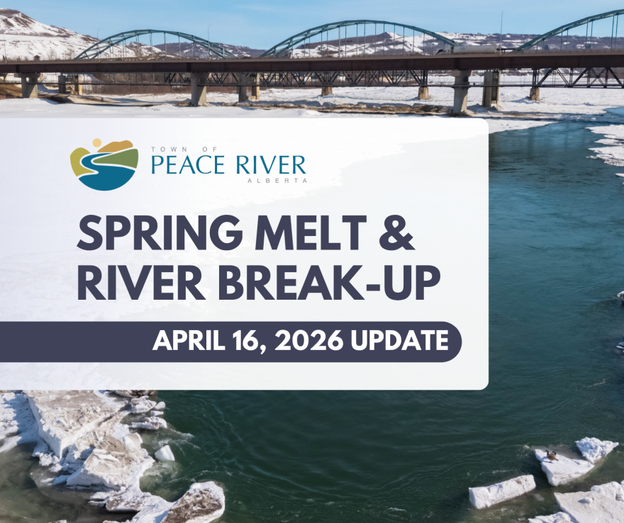
April 16, 2026: Spring Melt Update
The Town is continuing to manage the spring melt and prepare for river break-up.
We’ve received another update from the Alberta River Forecast Centre and continue to monitor conditions closely as break-up begins. Monitoring break-up is a normal part of spring, but with higher-than-normal snowpack this year, there is increased attention to how conditions develop.
Warmer temperatures this weekend (April 18-19) and into early next week are expected to accelerate snowmelt. There is no immediate emergency, but this is the period we are watching most closely.
- If you live in Lower West Peace, the North End, Downtown, or near the Heart River and Pat’s Creek, this is an important time to be paying attention and preparing.
- Ensure you have an emergency bag and basic household plan in the event of a flood. Think about what you would need if you had to leave on short notice: medications, important documents, chargers, pet supplies. Prepare a bag, talk with your family, and be aware that we are entering a heightened risk period as the weather warms up.
- Residents and businesses in low-lying areas may want to move items out of the basement and off the floor to protect damage in the event of a flood.
Currently, the ice front on the Peace River remains well upstream of town, but activity is picking up in the Smoky River basin.
Provincial staff will be on site as break-up progresses, and the Town continues to meet regularly with partners to assess conditions and plan next steps.
The main risk during break-up remains ice jams, which can form quickly and cause water levels to rise with little warning.
The Town has also been preparing internally, including reviewing evacuation plans and coordinating response efforts if needed. We will continue to adjust our approach as conditions evolve.
- Sign up for Voyent Alert: https://voyent-alert.com/community (or search on the app store)
- Follow the Town’s website and social media https://www.facebook.com/peaceriverab/
- Report flooding or drainage concerns to Public Works at 780-624-3085
- View more information on river safety and emergency preparedness: https://www.peaceriver.ca/home-property-utilities/emergency-preparedness
- Follow river advisories and status updates at https://rivers.alberta.ca/
- Stay off the ice. Conditions are unstable and can change quickly. The ice is very dangerous during break-up.
We’ll continue to share updates.
Find all the information on the spring melt and river break-up here: https://www.peaceriver.ca/2026melt
April 13, 2026: Private Options for Sandbags
April 10, 2026: River Signage in Place
April 9, 2026: Stay off the River

April 9, 2026: Spring Melt Update
April 4, 2026: Mayor Shannon and Fire Chief Harris Video
April 2, 2026: Spring Melt Update
Town staff met with the Alberta River Forecast Centre for an update on the spring melt and river break-up.
While river break-up is a normal and annual process, this year’s conditions point to a higher-than-normal flood risk, and we’re continuing to monitor the situation closely.
Snowpack across the Peace River basin is above average, and conditions are being closely tracked in coordination with the Alberta River Forecasting Centre. While there is still uncertainty in how the spring melt will unfold, current conditions support taking a proactive approach.
Conditions indicate a thermal break-up – where ice warms up and simply melts into the river – is unlikely, and it is more likely to be a dynamic break-up – where the force of the river physically breaks the ice to get it to move. This dynamic break-up is expected to originate in the Smoky River, pushing into the Peace River. All of this can change depending on how circumstances develop.
At this time, there are no immediate issues. River break-up is expected in the coming weeks, and conditions can change quickly depending on weather and ice movement.
The Town is increasing monitoring and preparedness efforts, and provincial staff will be on the ground during break-up to support observation and response.
Residents are encouraged to take basic steps now to prepare.
If you live in a low-lying or historically flood-prone area, you should be actively preparing and planning for potential impacts. That means Lower West Peace, the downtown (especially near the Heart River and Pat's Creek), and the North End.
Clear snow away from foundations, ensure proper drainage, check sump pumps, prepare a 72-hour emergency kit, and have a basic emergency plan in place.
We will continue to provide regular updates as conditions develop.
More information, updates, and preparedness resources can be found here: www.peaceriver.ca/2026melt

March 31, 2026: Emergency Advisory Committee Meeting

March 30, 2026: Mayor Shannon Radio Interview
Check out an update from Mayor Shelly Shannon on preparing for spring thaw, snow removal costs, and other updates as we start heading into warmer days.
Image via Trending 55 News Room.
Full story and audio available here: https://www.rivercountry.fm/2026/03/30/peace-region-bracing-for-spring-…
March 30, 2026: Preparing Just In Case
- Build a 72-hour emergency kit with essentials like water, food, medications, and supplies
- Sign up for Voyent Alert! to receive important updates
- Have a basic plan for your household
March 27, 2026: Spring Melt Overview
With a higher-than-normal snowpack this winter, the Town of Peace River is closely monitoring conditions as we move into spring melt.
While there is currently no indication of a major flooding event, conditions can change quickly depending on how the melt unfolds.
The main risk during spring break-up is the potential for ice jams. These occur when ice blocks the river’s flow, causing water levels to rise rapidly and sometimes leading to flooding.
Ice jams are difficult to predict and can develop quickly. The Town is working in coordination with the Province and Alberta River Forecasting Centre, and has checked infrastructure, prepared equipment, and reviewed emergency response plans to ensure readiness.
Residents also have an important role to play. Simple steps like clearing snow away from foundations and ensuring proper drainage can help reduce risk. Having a basic emergency plan and staying informed is also key.
Most spring melts pass without major issues, but preparation matters.
During this time, it is vital that you stay off the river and riverbanks, as changing conditions can make the ice very dangerous.
Sign up for Voyent Alert: https://voyent-alert.com/community/
Build your 72-hour emergency kit and come up with a family emergency plan: www.GetPrepared.ca
Prepare yourself for an emergency: www.alberta.ca/emergency-preparedness
Follow the Town’s social media and website for up-to-date information. We will house all communication about the river break-up and 2026 spring melt at this link: www.peaceriver.ca/2026melt
If you see any localized flooding or drainage issues, call Public Works at our 24-hour number: 780-624-3085*
*Important: contacting individual staff or members of Council can create confusion and slows our response ability. Please CALL the Public Works number.