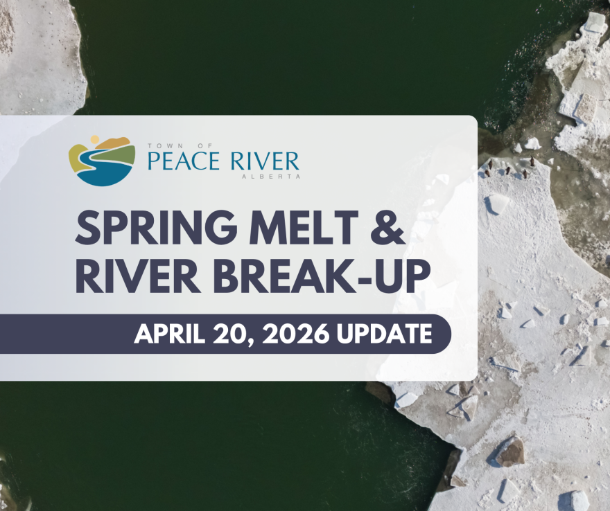
Warmer temperatures are continuing to drive snowmelt across the region, and we are starting to see water levels rise.
Current modelling suggests the peak of this melt will likely occur mid-week (Wednesday-Thursday).
At this time, river flows are below levels typically associated with a high-risk break-up scenario in Peace River, though conditions continue to change and are being closely monitored.
As a precaution, upstream flows have been reduced by BC Hydro, but water levels are still expected to increase over the coming days due to runoff from across the watershed.
What this means locally
Storm gates are now fully closed. This prevents river water from flowing into town, but it also means water from rainfall or melt cannot drain into the river in some areas. As a result, we may see more localized ponding or pooling of water, particularly in low-lying areas.
If you are experiencing significant ponding that is impacting access or property, please contact Public Works at the 24/7 number: 780-624-3085.
Crews are monitoring and will respond based on priority.
Looking ahead
The situation is still evolving. Short-term increases in flow can occur with little warning due to upstream conditions.
Residents in low-lying areas, including the North End, Lower West Peace, Downtown, and around Pat's Creek and the Heart River should continue to stay informed and be prepared.
- Sign up for alerts: https://voyent-alert.com/community/
- Prepare an emergency kit and discuss a plan with your household
- Follow updates at: www.peaceriver.ca/2026melt
We will continue to provide updates as needed.